
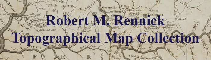
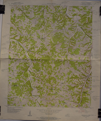
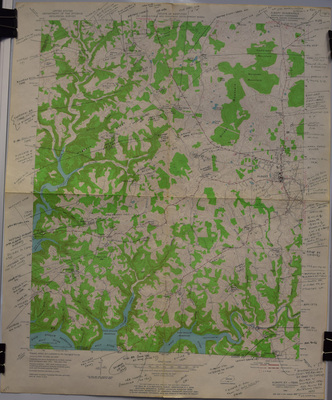
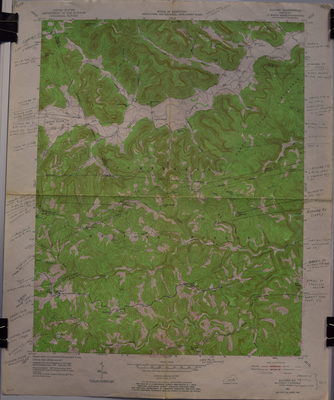
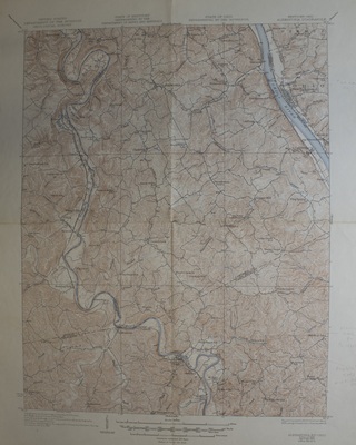
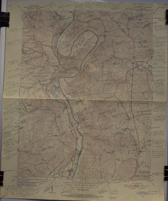
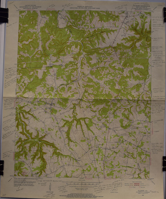
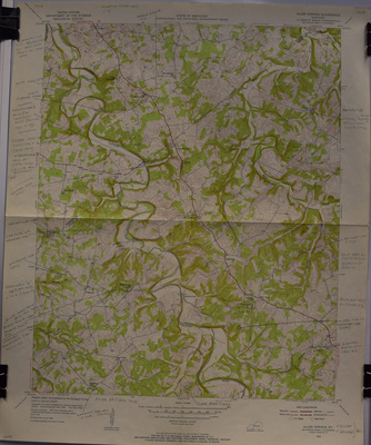
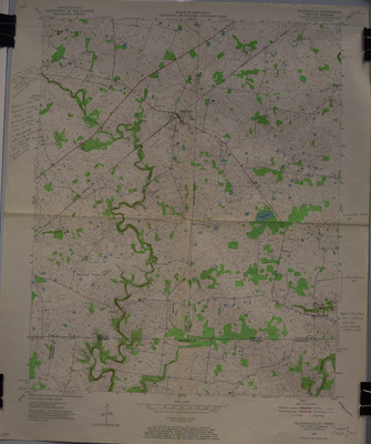
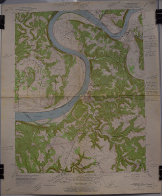
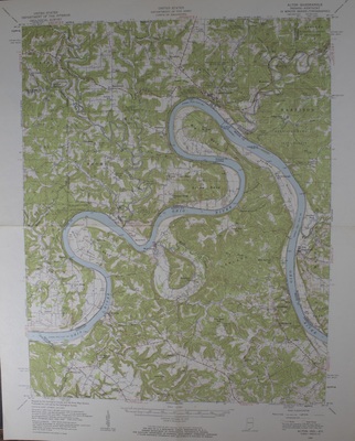
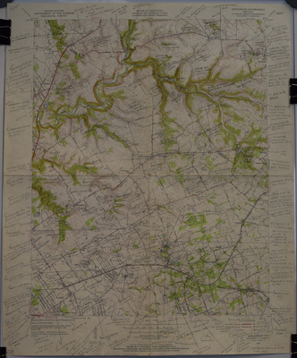
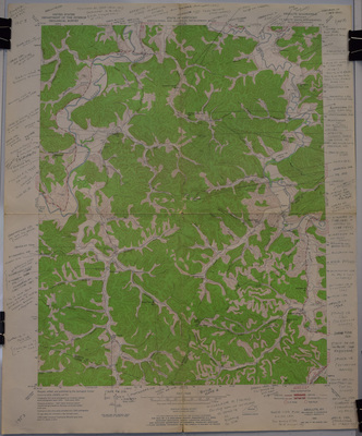
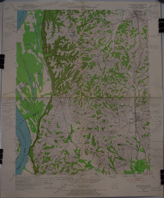
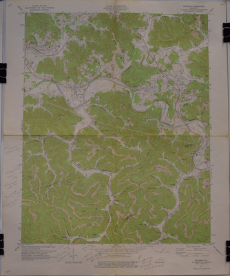
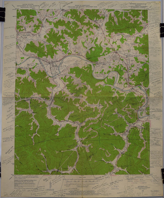
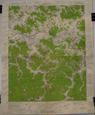
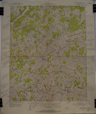
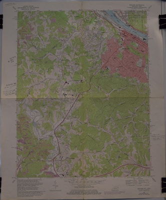
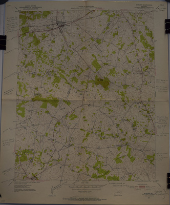
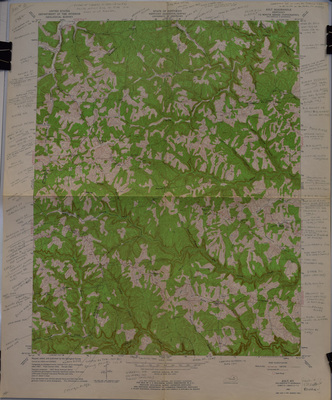
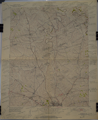
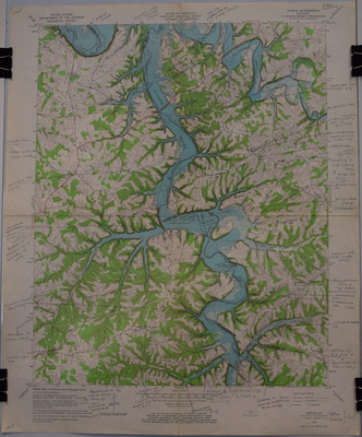
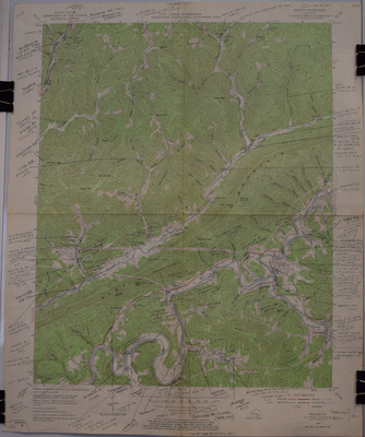
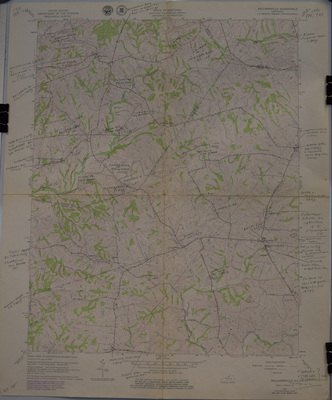
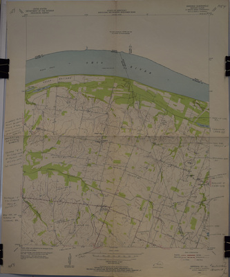
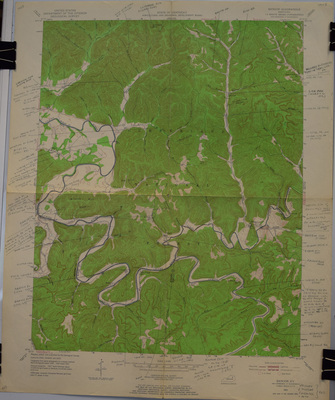
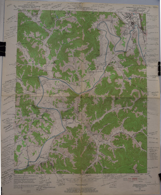
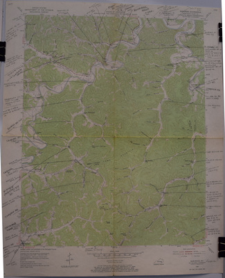
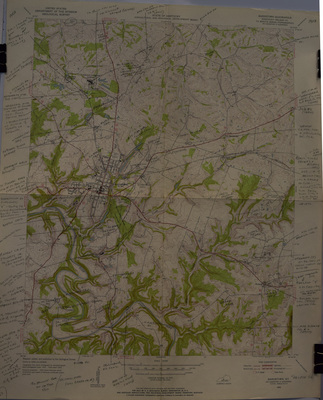
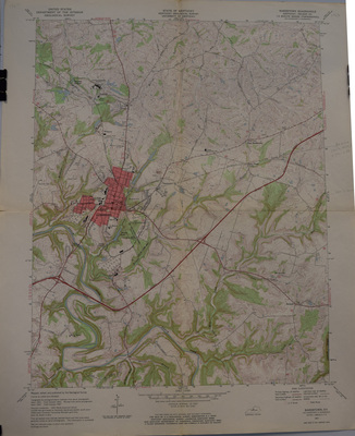
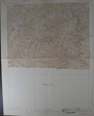
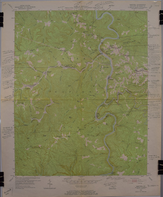
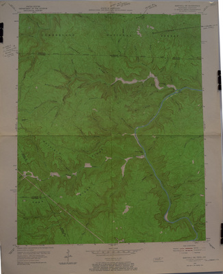
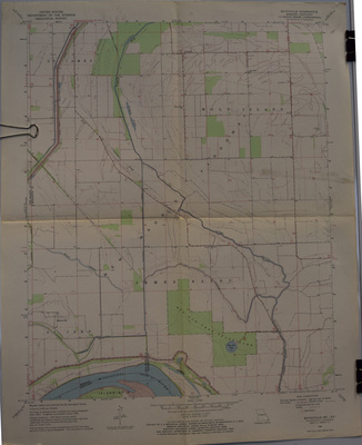
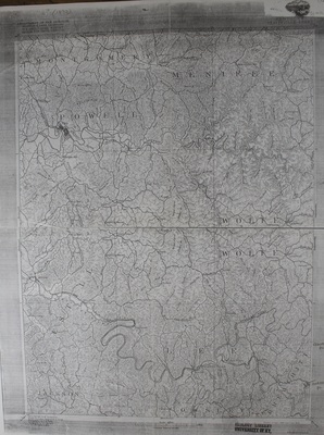
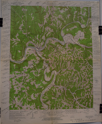
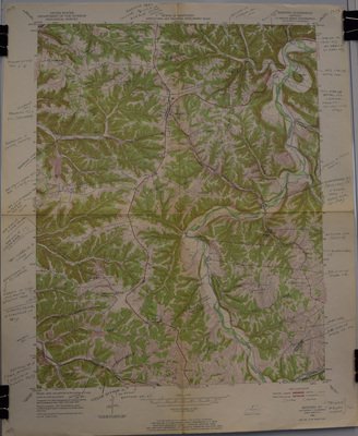
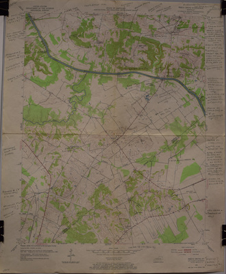
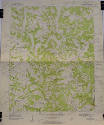
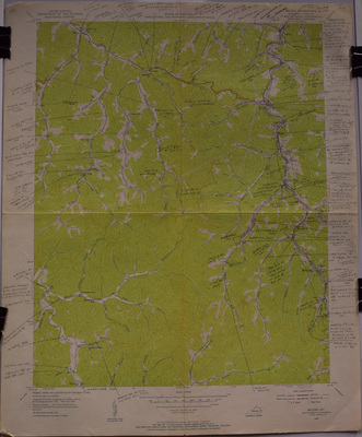
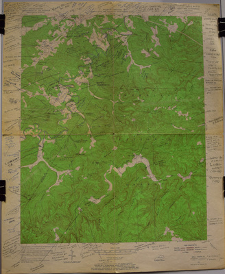
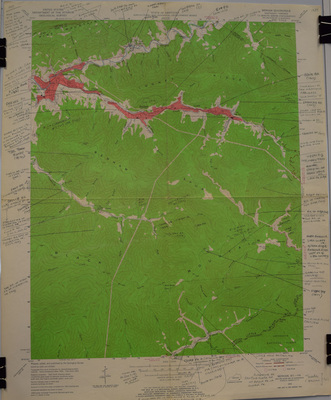
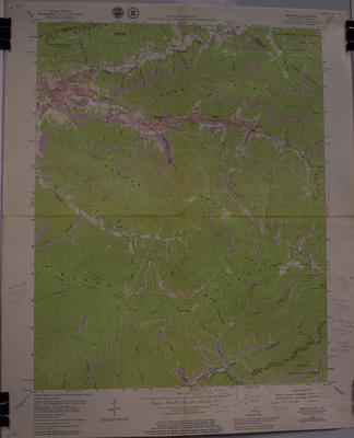
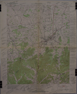
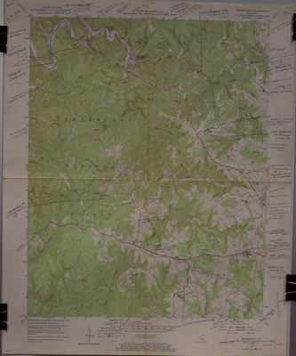
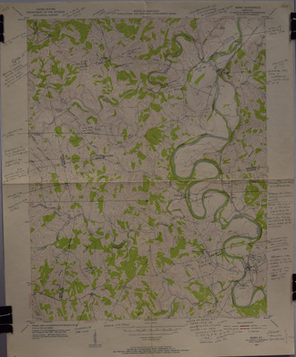
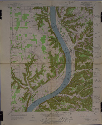
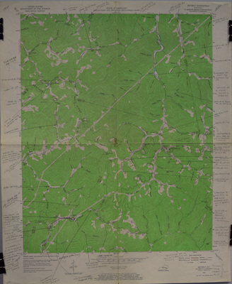
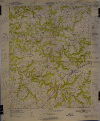
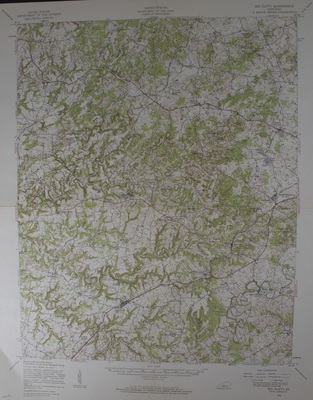
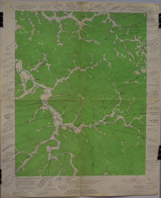
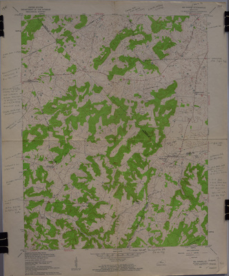
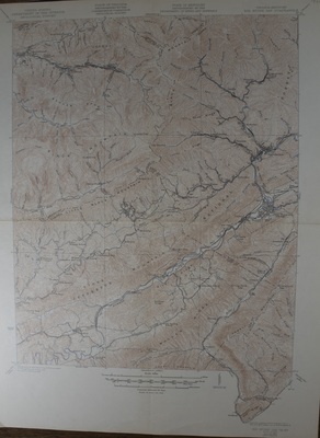
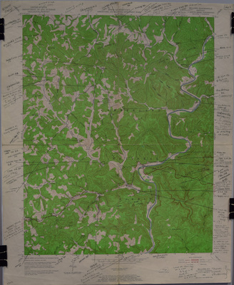
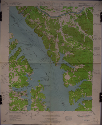
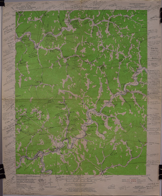
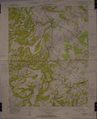
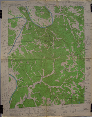
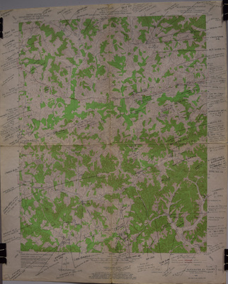
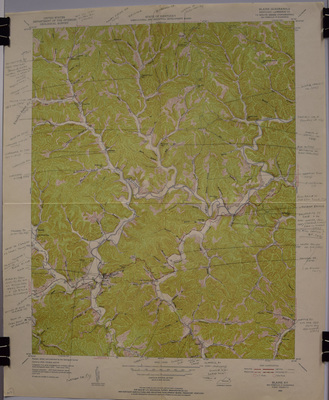
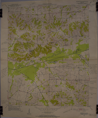
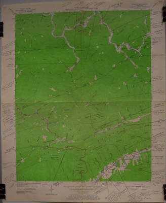
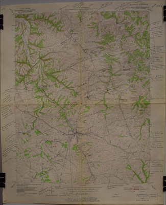
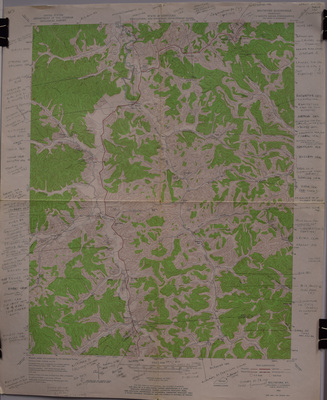
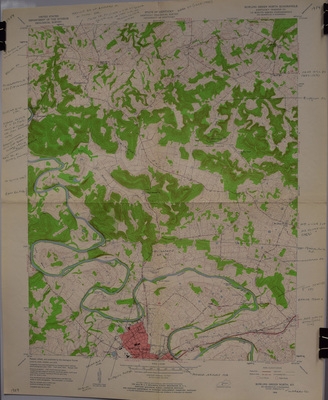
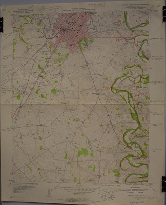
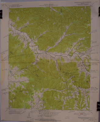
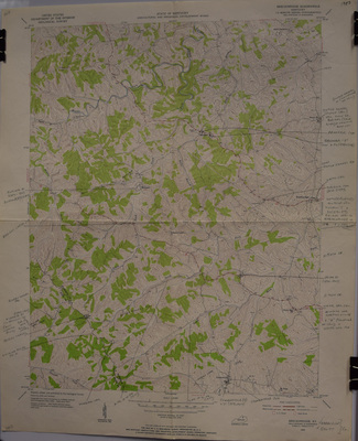
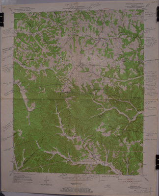
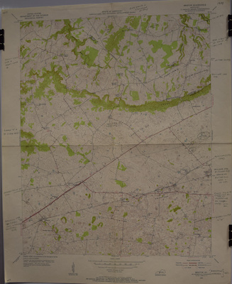
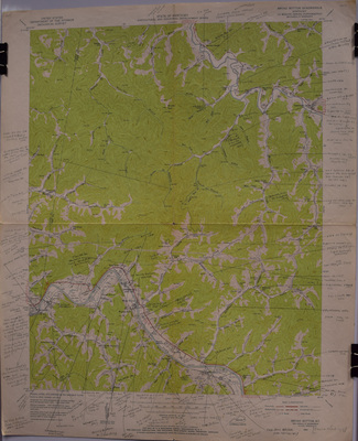
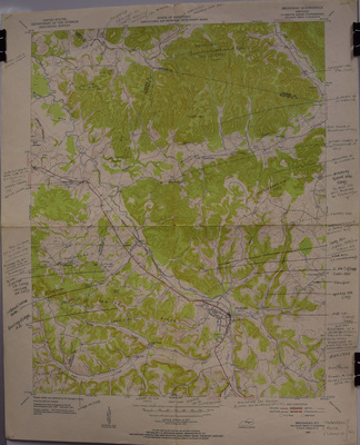
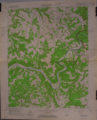
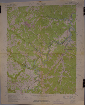
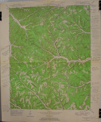
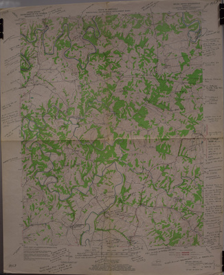
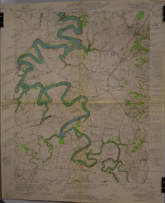
Robert M. Rennick Topographical Maps Collection consists of over several hundred topographical maps of the entire State of Kentucky published by the United States Geological Survey. Each map contains the locations of bygone rural communities and post offices, unique place-names of geographical sites, and handwritten notes by Dr. Rennick produced during his over thirty years of researching Kentucky place-names.
The maps have been organized alphabetically by title of the name assigned by the U.S. Geological Survey. To search for place names by county type in county name in search box in the upper left hand side of webpage or view gallery on map.
Photographs of maps and metadata by Angelina M. Daniel
The maps have been organized alphabetically by title of the name assigned by the U.S. Geological Survey. To search for place names by county type in county name in search box in the upper left hand side of webpage or view gallery on map.
Photographs of maps and metadata by Angelina M. Daniel
Printing is not supported at the primary Gallery Thumbnail page. Please first navigate to a specific Image before printing.


