Home > Library and Archives > Rennick_Kentucky_Place_Names > Rennick Place Name Maps > 583
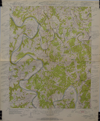
United State Geological Survey Robert M. Rennick
1952
Clark
Estill
Powell
Palmer Quadrangle
Kentucky
7.5 Minute Series (Topographic)
DOWNLOADS
Since April 24, 2017
Advanced Search