Home > Library and Archives > Rennick_Kentucky_Place_Names > Rennick Place Name Maps > 138
Robert M. Rennick United States Geological Survey
1949
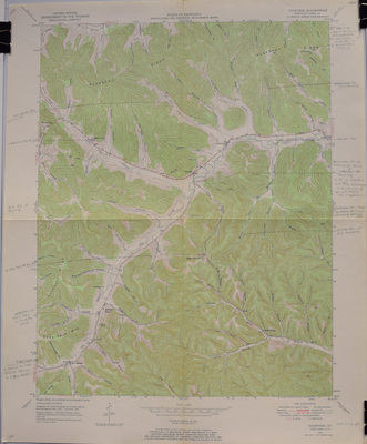
Lewis
Charters Quadrangle
Kentucky - Lewis Co.
7.5 Minute Series (Topographical)
DOWNLOADS
Since February 16, 2017
Advanced Search